
The problems we set out to work on are not exotic. They surface every time somebody asks where a spatial dataset came from, who has held it, what happened to it, and whether it should have been used at all.
We solved the acquisition problem
Some of us can still remember driving to a county office with blank media in the passenger seat, waiting while someone wrote out coverage or a set of shapefiles, then driving back. Later, it was external drives shipped between offices. Then ZIP archives too large to email were pushed through FTP. Then file-sharing links expired before the analyst got around to using them.
Today the same data arrives over a REST endpoint. Local governments publish through ArcGIS Hub and open data portals. States maintain feature services. Consultants deliver into versioned cloud storage. Acquisition that once consumed a week now takes minutes, and the profession deserves genuine credit for that. The transport problem has largely been solved.
What has not changed is what arrives alongside the data.
On a good day, there is metadata that is complete, current, standards-conformant, and written by someone who cared. That is the best case, and it is uncommon enough that most practitioners treat it as a small gift rather than a baseline expectation.
Even then, metadata describes. It rarely certifies. It will tell you the CRS, the extent, the producer, and a nominal scale. It is far less likely to tell you whether the geometry was validated and against which rules, whether attribute completeness was measured or assumed, whether positional accuracy was tested or simply inherited from a specification, which release this is relative to the one downloaded last quarter, or what changed between them.
So the analyst does what analysts have always done. Open the layer. Check the projection. Run a topology check. Compare feature counts against the previous version. Spot-check a dozen features against current imagery. Form a private judgment about whether the data can support the decision in front of them.
That judgment is professional work. It is also invisible, unrecorded, and independently repeated by every other person who downloads the same dataset from the same authoritative source.
Thirty years of infrastructure improvement moved spatial data faster without making it any more explainable. What was missing was never the file. It was the evidence surrounding the file, and nothing in the environment, then or now, has been built to preserve it.
What gets repeated, and what never accumulates
The immediate cost is effort, and it is easy to underestimate because it never arrives as a single large expenditure. It comes as an hour here and an afternoon there. Establishing which layer, roads_final, roads_finalFinal, or roads_FinalUseThisOne, is actually current. Verifying a CRS that should have been documented once. Comparing two exports to find what differs. Running a validation that may or may not have already been run against this exact version. Tracking down the one person who knows what an unlabeled or abbreviated field was for. None of it is wasted work, exactly. Most of it has been done before, often by someone in the same building.
What compounds is that the effort does not accumulate. An analyst who spends a morning satisfying themselves that a parcel layer is sound has produced something real – a considered determination about fitness, grounded in checks they actually ran. That determination lives in their head, survives the length of the project, and then evaporates. The next person starts from the same position with the same dataset and pays for it again.
The higher cost sits beneath that one. Once the determination is gone, the work rests on verification nobody can reproduce. The data was checked, but there is no durable record of what was checked, against which criteria, at what version, or by whom. Downstream products inherit the confidence without the evidence. A service, a dashboard, a derived layer, a report to a council, each carries an implicit assurance that somebody upstream looked closely. Usually somebody did. That is not the same as being able to demonstrate it, and the difference only becomes visible when it is too late to fix.
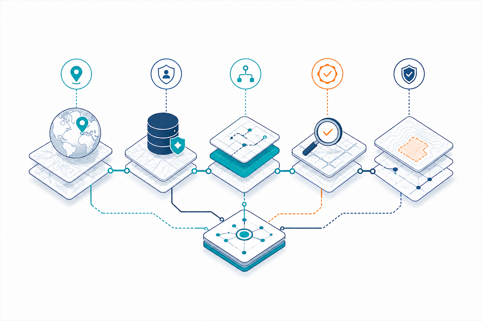
When we tried to state precisely what was missing, it did not reduce to a single issue. It resolved into four questions that follow every spatial dataset throughout its life cycle, and a fifth that only becomes answerable when the first four are connected to each other.
Four questions that follow every dataset
01
Origin
Origin is not attribution.
A source name is a beginning that organizations routinely mistake for an answer: which release, pulled from the authoritative service or received as an export from another team, produced for what purpose, at what scale, under whose authority, distributed with what restrictions. Authority is contextual rather than a property of the file. A parcel layer entirely authoritative for planning and taxation is not authoritative for boundary adjudication. A road network authoritative for inventory may lack the topology and turn restrictions that routing requires. What the data was meant to support is the most useful part of origin, and the part most reliably lost first.
02
Custody
Custody breaks at the handoffs.
Production database to ETL process to published service to desktop workspace to project export to contractor deliverable to derived analysis, and each transfer is a point where responsibility could be recorded and almost never is. The export is the sharpest break. A GeoPackage on a contractor’s laptop carries geometry and attributes and virtually nothing else: not the steward responsible for it, not the approval under which it was released, not the licensing terms that follow the derivative, not the fact that it was superseded three weeks later. Most organizations have stewardship. Few have stewardship that survives the file system.
03
Change
Change is continuous and largely untracked.
Reprojection, geometry repair, conflation, clipping, resampling, enrichment, manual correction, schema revision – each alters what the data can legitimately support, and most leave no lasting mark on the object itself. Versioning in spatial systems tracks edits rather than decisions. It will tell you a polygon changed. It will not tell you that a release was superseded, that a correction meant for one project propagated beyond its intended scope, or that generalization during publication removed precision that an engineering workflow still assumed was present.
04
Validation
Validation happens, then detaches.
Organizations perform substantial quality work: topology checks, attribute domains, completeness assessments, positional accuracy testing, and record the results against a dataset name rather than an exact state. Months later, that record cannot answer the question that matters: was the version we used the version we tested? Teams re-run the validation or assume. The assumption is invisible in everything built downstream.
Trust is not a state a dataset arrives at and keeps. The same parcel layer can satisfy one question and fail another, not because the data changed, but because the question did. A layer fully trustworthy for planning may carry none of what a boundary dispute requires. What’s known about the data is fixed at a point in time. Whether what’s known is enough is decided fresh, every time the data is asked to answer for something.
Trust becomes operational when that evaluation can change what happens next: proceed, prefer another source, warn, require a validation step, request steward approval, or stop and ask a person.
Why this became urgent rather than merely chronic
These gaps are decades old, and practitioners have compensated for them all through professional judgment, recognizing a filename, remembering that a layer is provisional, calling the steward before publishing, and noticing that a result does not look right. Those are legitimate safeguards. They are also difficult to scale and dangerous to assume in an automated system.
As workflows automate and GeoAI moves from experiment into operations, that compensation layer thins out. AI does not create the origin, custody, change, and validation problems. It removes the human judgment that has been quietly absorbing them, and exposes how much of an organization’s spatial reliability was resting on individual memory.
What we are working on
Trident Spatial Labs was founded to deliberately close that gap, rather than let another generation of practitioners keep closing it by hand.
What we are after is spatial data that can be defended. Not proven perfect – spatial work rarely permits that – but explainable end to end. Where it came from and under what authority. Who has held it and who is answerable for it now. What was done to it and which state is actually in use. What was verified, against which criteria, and at which version. Connected well enough that a competent person can reconstruct how a decision was reached long after the project has closed and the people have moved on.
That capability is not narrowly commercial. An analyst wants to stop paying twice for the same verification. A public agency needs to respond to a challenge to a floodplain determination or a service-area boundary. An engineering firm has to deliver a deliverable to a client who will be audited. A research group needs results that another group can reproduce from the same inputs, a standard the academic world states plainly and that spatial workflows satisfy less often than anyone would like. Different pressures, one underlying requirement.
We build software toward that end. It is called attashe, and we will write about it elsewhere. It is not the argument. The argument is that origin, custody, change, and validation should be properties of the environment people work in, rather than achievements of the individuals working within it.
Who this is for
Data architects and GIS leads are already absorbing this cost without being able to itemize it. Integrators are building spatial pipelines that will have to be explained to someone else later. Teams are moving GeoAI into production, where tacit knowledge no longer functions as a control. And organizations whose spatial decisions are subject to review – by regulators, auditors, courts, funders, or the public.
If one of your organization’s consequential spatial decisions were challenged tomorrow, could you retrieve the evidence chain, or would you still be reconstructing it from folders, emails, old scripts, and people who happen to remember?
See how Attashe helps preserve the evidence behind spatial decisions. →